
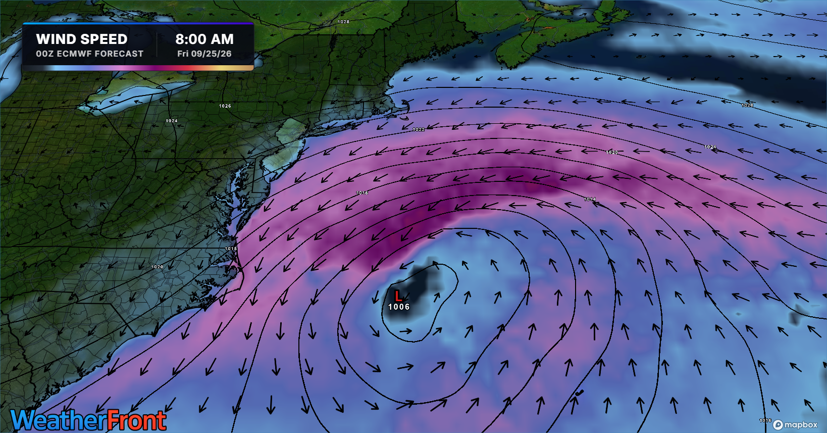
The Jersey Shore is expected to see its first nor’easter of the cool season beginning Tuesday, with impacts potentially lasting through the weekend.
A strengthening low-pressure system moving up the East Coast is expected to produce persistent northeast winds for several days. While the exact track remains uncertain, rounds of tidal flooding are expected, especially around the Wednesday, Thursday and Friday high tides.
Beach erosion and gusty onshore winds are also expected. Recent beach replenishment projects could help limit some erosion impacts.
The biggest uncertainties involve the severity and frequency of coastal flooding and how much rain falls. Some periods could feature only scattered showers, while one or two days could turn much wetter.
More specific flooding and rainfall details should become clearer as the storm approaches.
SPONSOR: NJ beaches generate billions in revenue, supporting thousands of jobs and businesses. If they erode, our economy collapses. Federal beach funding was cut in 2025. Only the American Coastal Coalition fights 24/7 in DC to restore it. Protect your beach and business. Join today: americancoastalcoalition.org