- September nor'easter reflections from the Tidal Flooding Talk team (10/6/2026)
- The federal flood insurance fight | Tidal Flooding Talk (9/29/2026)
- What happens beneath the ocean during storms? | Tidal Flooding Talk (9/22/2026)
- NASA Scientist Explains the Strange Tides of Other Worlds | TFT 9/15/2026
- How Flood Rules Help Protect Shore Homes | TFT 9/8/2026
For Jersey Shore homeowners, flood safety often starts long before the water rises.
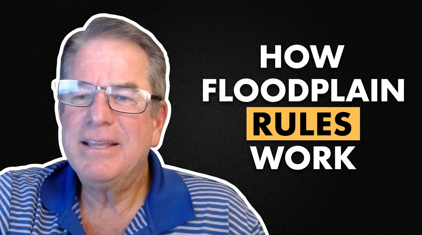
On the latest episode of Tidal Flooding Talk, New Jersey zoning officer and floodplain administrator Roger McLarnon explained how local zoning, construction rules and floodplain regulations work together to reduce storm damage and prevent costly mistakes.
McLarnon, who also works in Ventnor and Somers Point, said one of the biggest problems officials encounter is homeowners doing work without the proper permits. That can become especially expensive when a project violates zoning requirements or creates problems with floodplain compliance.
“Before you build it, it’s easy to deal with,” McLarnon said during the podcast. Once work is complete, correcting the problem can be far more difficult.
A major focus of the discussion was what can — and cannot — be done below a home’s design flood elevation. McLarnon said FEMA rules generally limit those lower areas to parking, storage and entryways. Converting that space into bedrooms, bathrooms, kitchens or other living areas can create serious compliance problems and leave expensive improvements exposed to flood damage.
The episode also highlighted the value of planning for future flood risk instead of simply meeting today’s minimum standards. McLarnon said Margate and Ventnor have worked to align zoning and floodplain rules so homeowners are less likely to get caught between competing requirements.
That coordination matters because zoning approval and floodplain development approval can both be required before a construction permit is issued. Palma Shiles, who works in Margate’s construction office and co-hosts the podcast, said having those reviews work together can help property owners avoid paying to redraw plans multiple times.
McLarnon also discussed how seemingly similar neighboring properties can have very different legal circumstances. In some cases, an improvement next door may be grandfathered in. In others, it may have been completed without a permit at all.
The larger message was simple: ask questions before building.
McLarnon said his goal is not just to enforce rules, but to help property owners find a legal path forward. His interest in floodplain management comes partly from growing up in Ocean City and watching major coastal storms, flooding and waves damage homes.
He said that experience shaped how he views the job today.
The goal, he said, is to make sure that after a major storm, residents still “have a home to come back to.”
That is the heart of floodplain management: not just paperwork and permits, but reducing the chance that one storm becomes a life-changing loss.