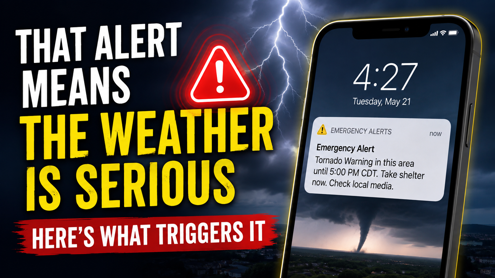
When your phone suddenly blares an emergency alert during severe weather, there’s a reason to pay attention.
Wireless Emergency Alerts, or WEAs, are emergency messages delivered to compatible cell phones in a threatened area. They are distributed through FEMA’s Integrated Public Alert and Warning System, or IPAWS, and can be issued by authorized government agencies including the National Weather Service.
For weather, not every warning triggers the distinctive WEA sound.
All Tornado Warnings activate WEAs. For Severe Thunderstorm Warnings, the storm must carry the National Weather Service’s highest “destructive” damage-threat tag. That requires expected winds of at least 80 mph, hail at least 2.75 inches in diameter—roughly baseball-sized—or both.
Flash Flood Warnings are also divided by severity. Only warnings tagged “considerable” or “catastrophic” are automatically forwarded through WEA.
The system is designed to reserve the attention-grabbing alerts for potentially dangerous situations. If one sounds during severe weather, check the message immediately and follow its recommended safety instructions.
📽️FRIDAY’S FORECAST | The flooding rain and severe weather is gone today, but not for long. I got your weekend weather details on another flooding threat, here. Tune in!
🏈 Your Rutgers tailgate headquarters! Parking at St. George is only 500 yards from SHI Stadium and features 500+ spots, clean restrooms, and quick access to River Road. It’s where Joe parks! Purchase at: www.rutgersparking.com.
The National Weather Service in Mt. Holly confirmed that a tornado spun through Estell Manor, Atlantic County, on Thursday, Aug. 20. The report was issued Saturday, Aug. 22.
The 30-second long twister took place at 4:41 p.m. in a unpopulated area of town.
The tornado has no rating to it. Typically, tornadoes are rating from an Enhanced Fujita 0 to Enhanced Fujita 5. However, since there was no damage “definitively connected to this tornado”, there is no rating, Alex Staarmann, of the NWS, told Joe Martucci over the phone Saturday.
Dan Forshaw got about as good as a safe/good vantage point you could get from the English Creek section of Egg Harbor Township.
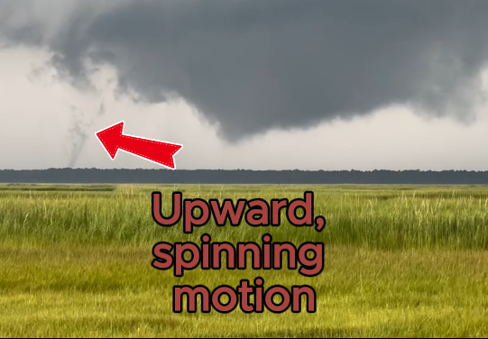
Initially views as a funnel cloud, or spinning clouds that didn’t touch the ground, the NWS studied the video by Forshaw, along with calls to first responders to make the tornado confirmation Saturday.
Cup A Joe Weather livestreamed throughout the entire event, answering questions and issuing warning messages.
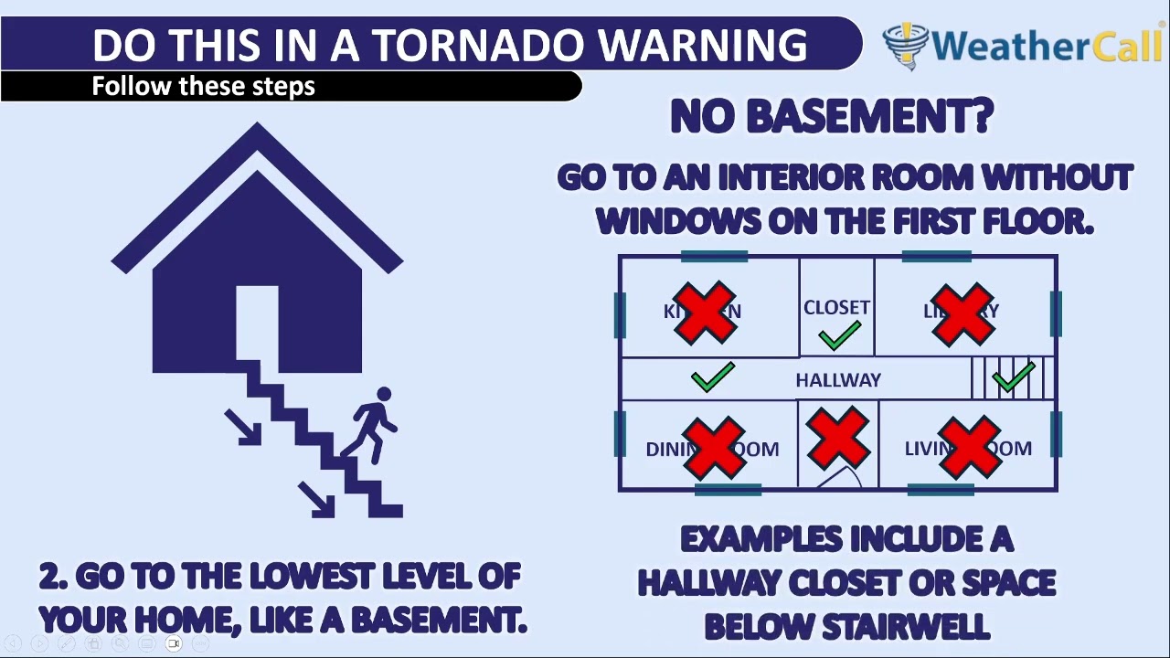
When a tornado warning is issued by the National Weather Service, that means damage to life and property is imminent. Seeking shelter is necessary for survival. Meteorologist Joe Martucci explains the best places to shelter when you’re in a tornado warning and what to do if you’re outside, with nowhere to go.
Never worry about missing severe weather warnings again. Get a call from me, text, or email when your location is impacted. WeatherCall ensures you stay informed for just $15 a year. Sign up: https://ngorder.wxriskalerts.com/db_app2.php?station=cajx
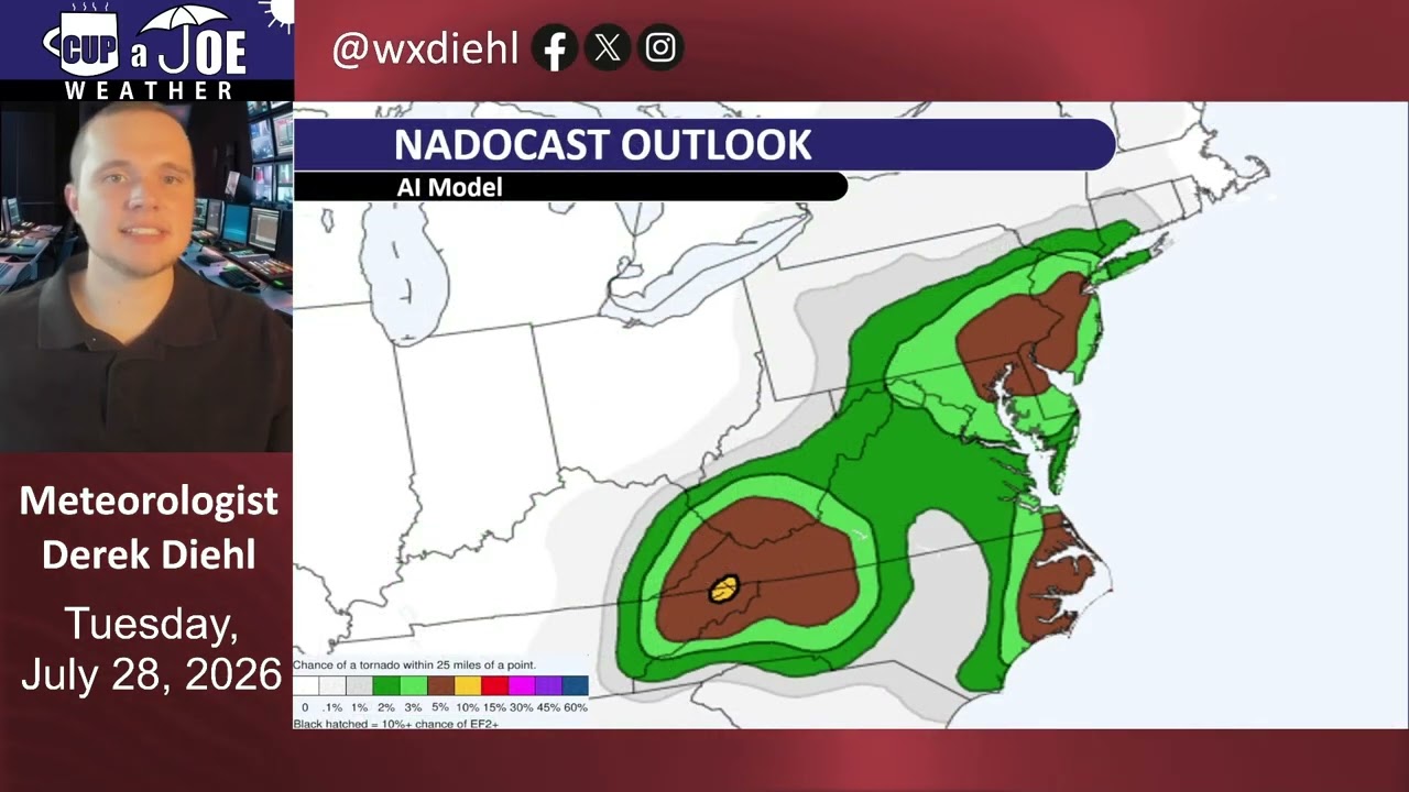
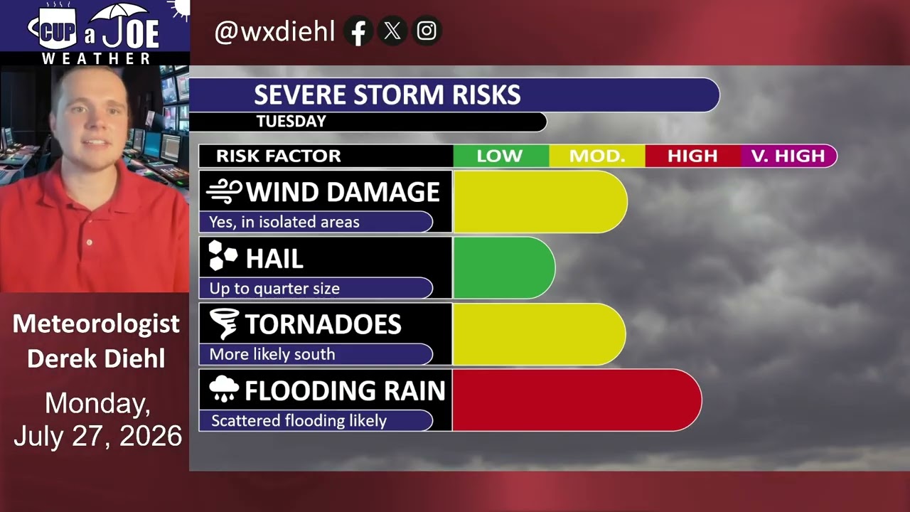
⛈️A strong low pressure will bring a severe weather and flooding threat to the Jersey Shore tomorrow. Meteorologist Derek Diehl has the details on this unique setup.
Never worry about missing severe weather warnings again. Get a call from me, text, or email when your location is impacted. WeatherCall ensures you stay informed for just $15 a year. Sign up: https://ngorder.wxriskalerts.com/db_app2.php?station=cajx
Meteorologist Joe Martucci, Founder of Cup A Joe Weather and Drone, spoke with Joanna Gagis of NJ Spotlight News on the severe weather that tore through New Jersey on July 21, 2026.
He was also in a hotel room, so pardon the bad background. Thanks for having us!
A rare tornado touched down in Cape May Point on Tuesday as part of an unusually active month of severe weather across New Jersey.
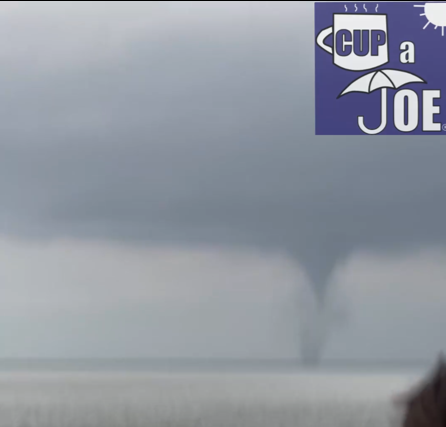
The storm began as a waterspout over Delaware Bay before moving onto land. It crossed several streets and faded near Lake Lily, not far from the beach. The tornado remained on the ground for about one minute and produced estimated winds of 70 mph. Trees were damaged along several roads.
It was the first recorded tornado in Cape May Point since reliable records began in 1950. Three other tornadoes were confirmed in Morris County on Tuesday, bringing the statewide total to four for the day. New Jersey typically averages about two tornadoes during an entire year, though the number can vary widely.
Heavy rain also flooded parts of Cape May County. Wildwood received 2.52 inches of rain. PJ Hondros, vice president of ShorelySafe and a Wildwoods resident, called it the area’s worst rain flooding in a long time.
Tuesday’s tornado was the first confirmed in Cape May County since an EF1 struck Woodbine in 2021. Only nine tornadoes have been recorded in the county since 1950. The strongest were F2 tornadoes in 1956 and 1971. Since 1950, the county’s tornadoes have caused only one injury and no deaths.
Sea Isle City, Avalon, Stone Harbor and the Wildwoods have not recorded a tornado during that period, according to the Office of the New Jersey State Climatologist.
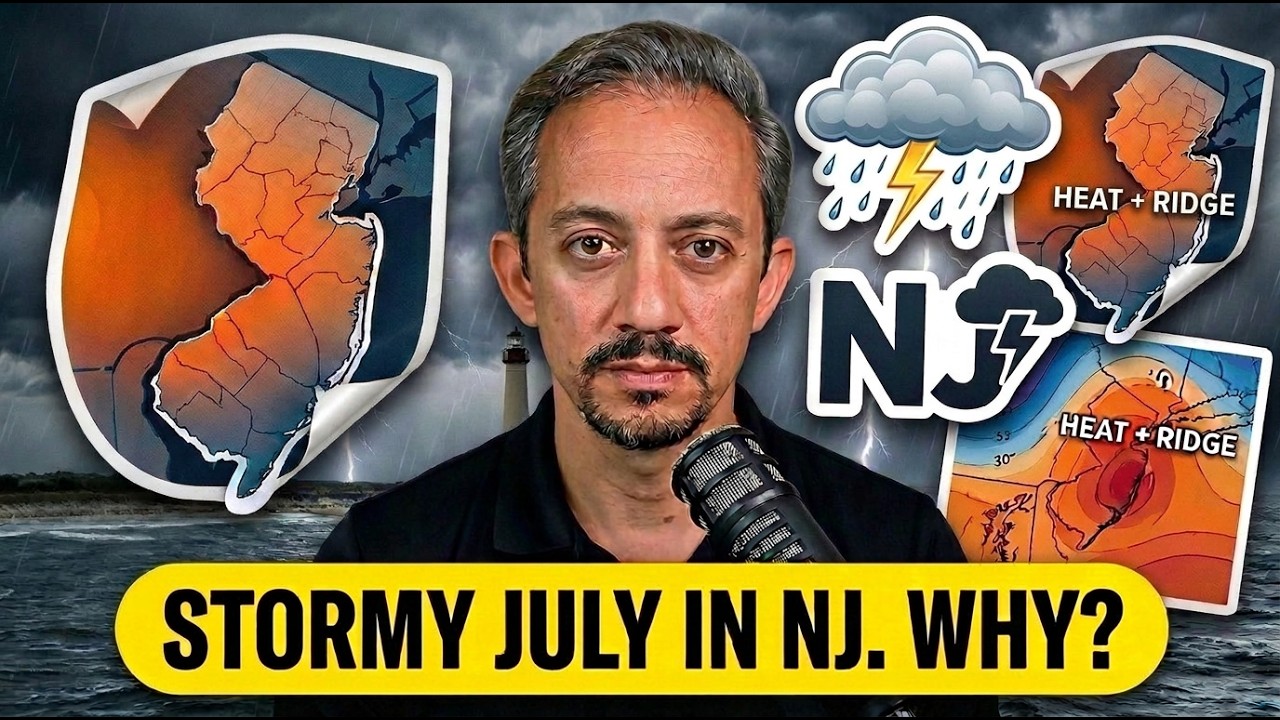
The Cape May Point tornado was only one part of a stormy July. Through July 24, the Storm Prediction Center placed at least part of New Jersey under a severe-weather risk on 12 days. That is half of the month so far.
Three days reached an enhanced risk, which is Level 3 on a five-level scale. Those included July 4, when damaging winds and intense rain struck the state; July 18, when several tornado warnings were issued; and July 21, when four tornadoes touched down.
The National Weather Service issued a combined 18 severe-thunderstorm or tornado watches and warnings in New Jersey from July 1 through July 24. The average for that period is about 14.
Extreme heat is one reason for the active weather. Strong thunderstorms often develop as heat waves begin to break. Temperatures across the state have been at least 2 degrees above average this July. Atlantic City International Airport is on pace for one of its three hottest Julys on record.
An unusual weather pattern several miles above the ground has also added more spin to the atmosphere. This type of pattern is more common during spring or fall. When it combines with intense summer heat and humidity, the risk of severe thunderstorms and tornadoes can rise.
There has been one benefit from the repeated storms: Drought conditions have improved. New Jersey remains under a state drought warning, but the share of the state experiencing drought fell by 12 percentage points between the beginning of July and July 23.
A waterspout is CLEARLY seen near the Cape May – Lewes Ferry harbor in Lower Township, Cape May County around 630PM Tuesday evening (7/21/2026).
At 613PM a waterspout cape from the Delaware Bay and moved ashore near Cape May Point. Emergency Management told me no injuries or significant building damage.
This is one of 3 confirmed rotating storms in NJ today. One tornado was confirmed in Stanhope, Morris County. Meanwhile, the other occurred near Pine Hill, also in Morris County.
A tornado watch is in effect Tuesday evening as a line of rotating storms moved through the state. This is the second tornado watch issued by the National Weather Service in less than a week for the area. The tornado watch on July 18, 2026 did not produce any tornadoes, though.