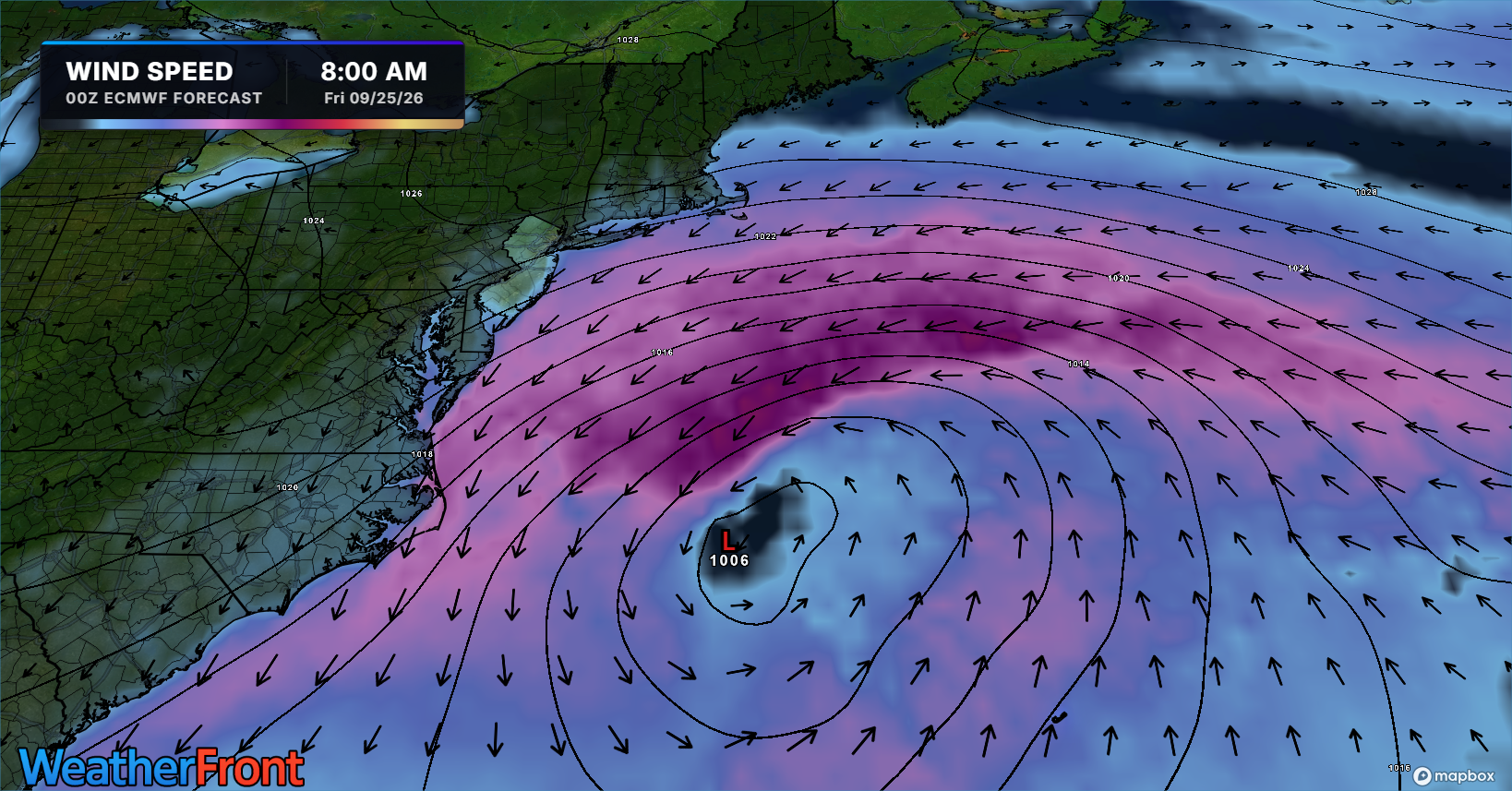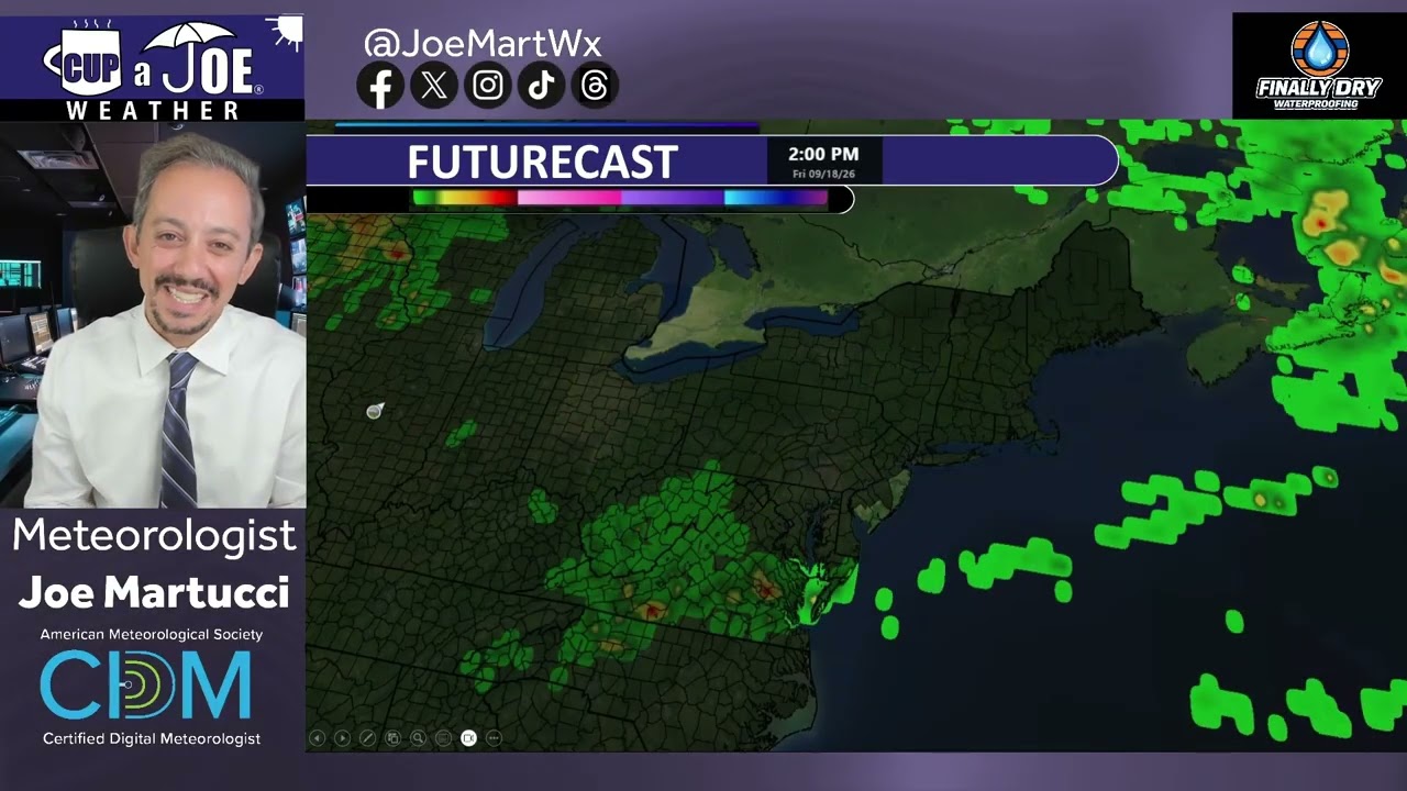
⛈️TUESDAY’S FORECAST | Somewhere at the Shore should see 3″+ of rain. Flooding rains, dangerous rip currents are in the forecast, and we still have to talk about severe weather! This stormy patterns continues until Thursday.
Tired of water in your basement or crawlspace? Trust Finally Dry Waterproofing’s family-owned company to fix it right. We install permanent drainage solutions guaranteed for 2 ownerships with no limit! Get your FREE inspection at finallydrywaterproofing.net.
⛈️A strong low pressure will bring a severe weather and flooding threat to the Jersey Shore tomorrow. Meteorologist Derek Diehl has the details on this unique setup.
Never worry about missing severe weather warnings again. Get a call from me, text, or email when your location is impacted. WeatherCall ensures you stay informed for just $15 a year. Sign up: https://ngorder.wxriskalerts.com/db_app2.php?station=cajx
🥳SATURDAY’S FORECAST | It’s our most comfortable weekend of summer so far. A great weekend to visit Headley Family Farm in Eagleswood and eat Jersey Fresh! I do want you to pay attention to a severe weather day next week, though.
Come visit Headley Family Farm at 120 Province Road in West Creek! It’s where farming the pines meets the Jersey Shore. Get your Jersey Fresh produce here. Open weekends and some weekdays. Call us at 609-848-3763 or follow us on Facebook, too!
A rare tornado touched down in Cape May Point on Tuesday as part of an unusually active month of severe weather across New Jersey.
The storm began as a waterspout over Delaware Bay before moving onto land. It crossed several streets and faded near Lake Lily, not far from the beach. The tornado remained on the ground for about one minute and produced estimated winds of 70 mph. Trees were damaged along several roads.
It was the first recorded tornado in Cape May Point since reliable records began in 1950. Three other tornadoes were confirmed in Morris County on Tuesday, bringing the statewide total to four for the day. New Jersey typically averages about two tornadoes during an entire year, though the number can vary widely.
Heavy rain also flooded parts of Cape May County. Wildwood received 2.52 inches of rain. PJ Hondros, vice president of ShorelySafe and a Wildwoods resident, called it the area’s worst rain flooding in a long time.
Tuesday’s tornado was the first confirmed in Cape May County since an EF1 struck Woodbine in 2021. Only nine tornadoes have been recorded in the county since 1950. The strongest were F2 tornadoes in 1956 and 1971. Since 1950, the county’s tornadoes have caused only one injury and no deaths.
Sea Isle City, Avalon, Stone Harbor and the Wildwoods have not recorded a tornado during that period, according to the Office of the New Jersey State Climatologist.
The Cape May Point tornado was only one part of a stormy July. Through July 24, the Storm Prediction Center placed at least part of New Jersey under a severe-weather risk on 12 days. That is half of the month so far.
Three days reached an enhanced risk, which is Level 3 on a five-level scale. Those included July 4, when damaging winds and intense rain struck the state; July 18, when several tornado warnings were issued; and July 21, when four tornadoes touched down.
The National Weather Service issued a combined 18 severe-thunderstorm or tornado watches and warnings in New Jersey from July 1 through July 24. The average for that period is about 14.
Extreme heat is one reason for the active weather. Strong thunderstorms often develop as heat waves begin to break. Temperatures across the state have been at least 2 degrees above average this July. Atlantic City International Airport is on pace for one of its three hottest Julys on record.
An unusual weather pattern several miles above the ground has also added more spin to the atmosphere. This type of pattern is more common during spring or fall. When it combines with intense summer heat and humidity, the risk of severe thunderstorms and tornadoes can rise.
There has been one benefit from the repeated storms: Drought conditions have improved. New Jersey remains under a state drought warning, but the share of the state experiencing drought fell by 12 percentage points between the beginning of July and July 23.
📽️FRIDAY’S FORECAST | If you liked Thursday, you’ll love today! Heck, you’ll love the weekend as well. It’s shades of September with crisp mornings. The one hiccup? Rip currents.
🏈 Your Rutgers tailgate headquarters! Parking at St. George is only 500 yards from SHI Stadium and features 500+ spots, clean restrooms, and quick access to River Road. It’s where Joe parks! Purchase at: www.rutgersparking.com.
WEDNESDAY FORECAST – 🌪️But first, a review of yesterday’s waterspout/tornado event in Cape May. Hit-or-miss showers and storms will bug the Jersey Shore today, but we have a picture prefect weekend to look forward to! Meteorologist Derek Diehl has the details.
A waterspout is CLEARLY seen near the Cape May – Lewes Ferry harbor in Lower Township, Cape May County around 630PM Tuesday evening (7/21/2026).
At 613PM a waterspout cape from the Delaware Bay and moved ashore near Cape May Point. Emergency Management told me no injuries or significant building damage.
This is one of 3 confirmed rotating storms in NJ today. One tornado was confirmed in Stanhope, Morris County. Meanwhile, the other occurred near Pine Hill, also in Morris County.
A tornado watch is in effect Tuesday evening as a line of rotating storms moved through the state. This is the second tornado watch issued by the National Weather Service in less than a week for the area. The tornado watch on July 18, 2026 did not produce any tornadoes, though.
⛈️TUESDAY FORECAST – Severe weather and flooding present risks for today, beginning around 5PM! When will the weather revert to sunny conditions? Meteorologist Derek Diehl has the details.
Tired of water in your basement or crawlspace? Trust Finally Dry Waterproofing’s family-owned company to fix it right. We install permanent drainage solutions guaranteed for 2 ownerships with on limit! Get your FREE inspection at finallydrywaterproofing.net
We recently completed several major upgrades to the Coastal Flooding Dashboard developed for our ShorelySafe towns and counties.
The updated platform includes an interactive dashboard tour, current and historical flooding comparisons, annual forecasts, 50 years of coastal flood data and sea-level projections extending toward the 22nd century. Users can also customize each chart to focus on the information most relevant to them.
Our new sea level trends feature in the Flood Dashboard shows how sea levels have risen in your community over the decades. Our Sea Level Trends forecast tool allows you to plan for future flooding, decades in advance, using different climate scenarios. Our Flooding Throughout the Year product received a major upgrade. We now forecast the number of tidal floods in a year, with 95% accuracy. You can see how the number of floods in your town occurred based on specific years, too. Just turn them on or off.
These improvements make complex coastal data easier for residents, municipal leaders and emergency managers to understand and use.
That includes you reading this today! Our in-house Flood Mapper and Flood Dashboard are available to the public in that community.
As flooding becomes more frequent, tools like this can strengthen public awareness, planning and coastal resilience.
View the attached images and visit the dashboard to explore the new features. Ask your town or county to sign up for ShorelySafe!
Never worry about missing severe weather warnings again. Get a call from me, text, or email when your location is impacted. WeatherCall ensures you stay informed for just $15 a year. Sign up: https://ngorder.wxriskalerts.com/db_app2.php?station=cajx